Showing posts with label St.Austell. Show all posts

Saturday, 27 April 2024

A Day in Cornwall: Charlestown, St.Austell, Heligan

A few photos from the last week when we were out and about. Above is the port at Charlestown and below is looking out to sea from the harbour wall. You might just be able to see a few minute sailing ships on the horizon - or there again you may not.


We then moved on to the town of St. Austell


My wife had an appointment in the town so I mooched about with my camera. Some colourful paintings in the next two photos.


A photo next of a china a clay exhibit on a wall. There are several of these in various places in the town.


The appointment over we headed for the Lost Gardens of Heligan - starting off with a friendly goat.


We always like to see the rhododendrons, though it was a little chilly to use the seats! 


A cheerful colour next to an old wall ...


... and a closer look at the wall.


Moving on now to the  Jungle at Heligan


Time to be  homeward bound


And finally a quick look at Carlyon Bay on our way home.


Nearly forgot, a saying seen at Heligan:
We don't stop playing because we grow old
We grow old because we stop playing.

Thanks for visiting my blog~ Mike.

Wednesday, 17 August 2022

40 Photos: An Updated Circular Walk Based On Gover Valley, St.Austell, Cornwall


Today I'm updating the Gover Valley circular walk with a fresh set of 40 photos. The first photo, above, is of the viaduct which carries the London train to Penzance, Cornwall and vice versa. This is the start of the walk.

Details of the length of the walk and where to park etc. are at the end of the post.

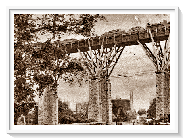
Next to the viaduct is the stump of a much older viaduct built from 1859 This would have had a wooden construction supporting the railway lines - see photo at end of the post.  This proved to be a false economy so the current viaduct had to be built in 1899. 


For the start of the walk, go under the viaduct and keep on walking in a straight(ish) direction until you see the signs shown below - then continue to keep walking in a straight direction.


You will pass a few old cottages on the right hand side.


Further on there are  a couple of newish houses on the left. The one in my photo was once the local chapel. You can see the original window towards the right of the photo.


Keep walking and there is an abandoned building, on the left, once used within the china clay industry.


You will soon pass dog kennels on your left - the animals are all safely confined! Looking left after the kennels you'll see an old chimney - again once used in the china clay industry.


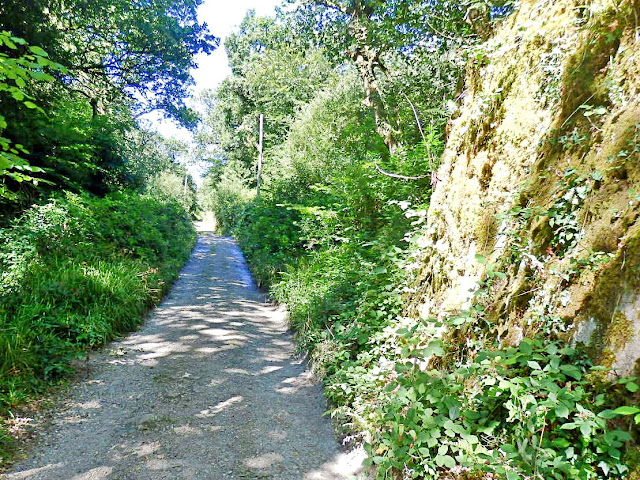
Keep walking in a straight direction along the lane.


Another house can be seen on the righthand side. I've always fancied this property.


They have an old signpost near the gate.


A small stream now follows, along the valley, on the right of the lane. The stream was once used for the panning of tin. Unfortunately my next two photos of the stream aren't too good as this was a blazing hot day. There were strong shadows and the water had virtually dried up. 


On the left is a large building. Yes you guessed:  once used in the china clay industry.


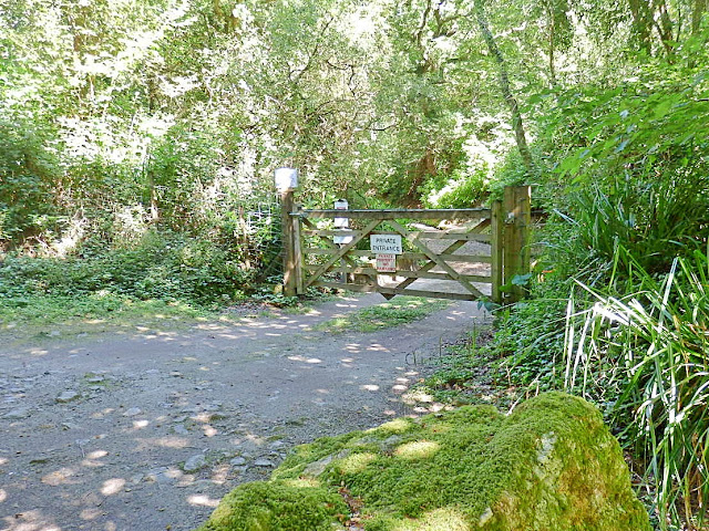
Carry on walking, passing a gate, which leads to a private area.


Keep walking and on the right you'll see the remnants of some china clay ovens.


The path is now quite straight for a while.


Ignore the track to the right and you will soon see ...


... a few old cottages.


You may also see the Public Footpath notice, but ignore this and keep walking in a  straight direction


By doing this you'll come to a gateway. Pass through this - no climbing necessary!


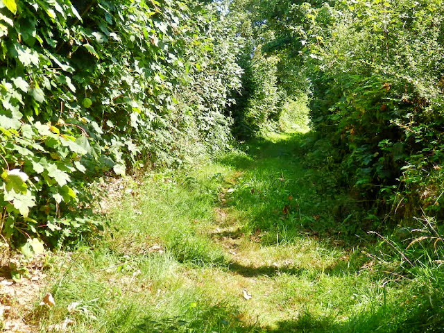
The path becomes a lot narrower.


It looks brighter out of the shadows.


Back to shadows again! 


Not to worry though as the path will soon lead to a road. At the road turn left. There is very little traffic. On my walk here I didn't see any vehicles - or meet any people!


From the lane there are pleasant views if you look to your left.


If it's a clear day you should be able to see the sea. The small tower in the far distance is Gribbin Head


Keep to the very  left of the road and you should soon be able to see a Public Footpath sign as indicated below -  which is a left turn from the road. Sometimes though, the sign is difficult to see.


The path doesn't really look like a public path as you will pass this house and a couple of other constructions. Keep to the left of the lane.


Pass by the side of the house as below.


It is now a case of following the path for quite a while.


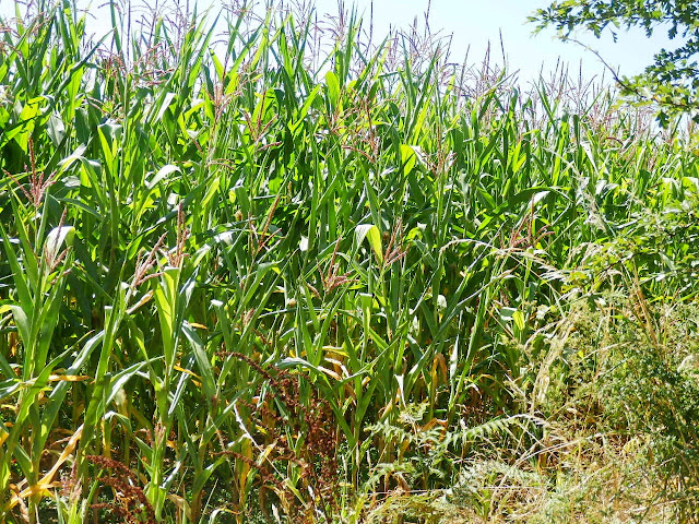
The views are dependent on what the farmer has done with his fields, in this case growing corn. Sometimes there are views to the right towards the sea.


Looking left, as below.


Another view of the path.


Okay we are now approaching a house so - as Dionne Warwick used to sing - Walk on By. 


Unexpectedly we saw a Royal Mail van and he had to squeeze passed us. He wasn't a happy bunny as he grumpily bumped his way along the track.


Now we are coming to some civilisation. As soon as you reach the small housing estate walk down the immediate road going to the left (Trevanion Hill). It is quite narrow and goes downhill. Be careful, as it is often used by cars etc., especially if they are relying on a Sat Nav which, for some reason seems to think this is a short cut to several places.


Start to walk down the hill and on the right you'll see a wide gate  where there are views over to the viaduct where the walk started.


The next two photos were taken from the road, so you can see from the views that it is quite steep.


Nearly all over now. At the bottom of the  hill turn right and you'll soon be at the viaduct - where you started the walk.


So that's the Gover Valley walk in St. Austell, Cornwall. According to my wife's Fitbit the distance is  3.69 miles and the walk takes 2 hours and 10 minutes. You will also supposedly use 883 calories! The stats seem about right, as the last time I did the walk it took me two and a quarter hours.

As regards parking. There are usually several places to park a car in Gover Road. There is also  a sort of small, untidy, lay-by just after the viaduct on the left.

I think that wraps up today's post, other than the photo below. This shows how the first viaduct would have looked with the wooden construction for the train lines. No wonder it was replaced by all stone.

That's all for today, thanks for visiting my blog. You are welcome to leave a comment below.
All good wishes ~ Mike.

FEATURED POST

NEWQUAY, LUNCH & OTHER PHOTOS

  A few random photos from our week. We decided to head for Newquay and lunch at the Forte Inn ,   one of our favourites as there are such l...