Monday 14 December 2020

Walking The Blackpool Trail, Cornwall


On a chilly morning we stopped on the narrow road for a minute or two to take in the view above. 


We had decided to walk 'The Blackpool Trail', somewhere we had never walked previously. It had been mentioned to us so we thought we'd give it a go.


It's called a trail but we soon found it isn't very long. We walked for about an hour and a half in total.


The views to our right were far reaching but to the left was a china clay quarry and all we could see were grasses and shrubbery on a high mound.


There was a picnic table nearly hidden in the long grass.


To the right the views continued. In the photo below white china clay can be seen.


All very pleasant but ...


... a sign to the right reminds walkers that quarries can be dangerous. So there is barbed wire to keep people out.


Occasionally the trail / path has small trees either side.


A mound of waste from china clay production.


More of the views on our return journey.


More and more houses seem to be going up, but I guess this is happening countrywide.


As for the china clay industry, it's hard to believe that half of the world's supply of china clay came from Cornwall in the late 1800s.

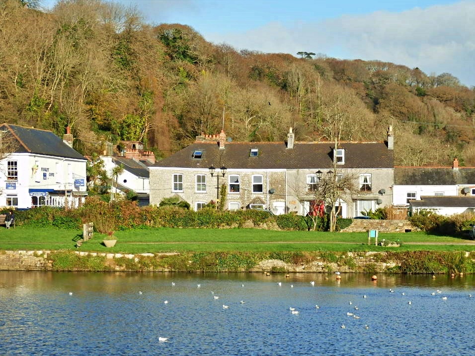
The final photo for today.


Map Ref for Blackpool Trail: SW974533

Also see:


Thursday 10 December 2020

Pentewan Harbour and Beach, Cornwall


Brrr! It was a bit chilly, but the sun was out and the rain had gone away to plague somewhere else. We decided to see if anything was occurring at Pentewan.

The photo above shows part of Pentewan harbour, as does the photo below.

The harbour is no longer used and is now landlocked.


In the late 1800s, and early 1900s the harbour would have been full of tall sailing ships exporting local china clay, metals and the like all over the world.

I have a photo from 1900 with the harbour filled with sailing boats - see my post: Pentewan: How it Looked in 1900 Compared with Today.


As you wander around the harbour there are bits and pieces left over from the working days. See photo above - and below shows train rails from that period.


What looks like a wooden fence was once a bridge over the harbour inlet.


Below is what is left of the old harbour wall.


It was all a bit of a mess to the west (right) of the wall. Much had been damaged since our last visit.


The White River was still making its way across the sand to the sea.


More of the damage.


Below is a bit of an illusion as it looks like the wooden posts are supporting the sand.


On the other side of the harbour wall it was like a different world, a sandy beach and blue sky.


A few of the cliffs ...


... and a man carrying his young son on the beach.


Having had our fill of sea air we made our way to the Pentewan village ...


... and the Ship Inn. From here we were homeward bound.


Other Pentewan Posts:

Sunday 6 December 2020

A Quick Stop Off at Mevagissey, Cornwall


I know I have published a couple of posts on Mevagissey recently (links at the end of this post) but, as I happened to be there once more, and with my camera, I couldn't resist a few quick shots.


Spotted this fellow drying his wings. The sea looked quite blue but gradually dark clouds rolled in.


To think there would be lots of people looking at this view during the hectic summer months but, today, not a visitor in sight.


There's even an empty stone seat.


Looking from the seat the clouds got darker, but the houses on the cliff top seemed to stand out from the greyness.


A fishing boat at rest.


Ah, found another person enjoying the view as the clouds began to look friendlier.


A couple of typical shots of Mevagissey, on which to end today's post.


Here are the links to the other Mevagissey posts I mentioned earlier. About 30 photos.

and

Wednesday 2 December 2020

Boats, Ferries and other Crafts in the Villages , Harbours and Towns of Cornwall


Boats and crafts of all sorts hide away in the harbours, coves and rivers of Cornwall.

I'm zig-zagging all over the place. Mevagissey  above and then Newquay, on Cornwall's north coast.


Back to Cornwall's south coast on the River Fowey. This is the ferry which crosses over from Fowey to Polruan.


Another ferry, which carries cars and other vehicles from Fowey, this time to Bodinnick.


Along the coast to Mevagissey for the ferry to Fowey in the summer season.


Meanwhile on Cornwall's north coast the ferry which crosses the River Camel from Padstow.


Some boats prefer to hide away in peaceful creeks, as this one in St. Just in Roseland.


Zipping across to Cornwall's city of Truro and the River Truro. An abandoned boat gradually deteriorates. 


Boats paraphernalia, some quite old. VR for (Queen) Victoria Regina.


Boxes used by fishermen.


And, of course, boats at sea need lighthouses as per this one at Mevagissey. I got a bit wet taking this photo!


Heading over to Padstow Harbour now. A very popular place in the summer months.


Still in Padstow.


Moving on, this time I was actually on a boat heading along the river to Falmouth.


Zooming back to the small cove of Polkerris, only a few boats in the harbour. Tresco is the name of one of the Scilly Islands which are about 25 miles off the south west of Cornwall.


Meanwhile at Charlestown there all sorts of boats, ships and sails.


Finally red sails in the sunset, okay not quite, but I remember my dad singing the old song. So a happy memory.

"Red sails in the sunset, way out on the sea
Oh, carry my loved one home safely to me.
She sailed at the dawning, all day I've been blue.
Red sails in the sunset, I'm trusting in you ...
...and so on".


FEATURED POST

My Garden in Cornwall

There still isn't much colour in our garden at the moment, here in Cornwall. I think Spring must have forgotten us.  On the opposite  ...